-
 Meherpur Zilla Development PlanMZDPUrban Development Directorate (UDD)
About MZDP
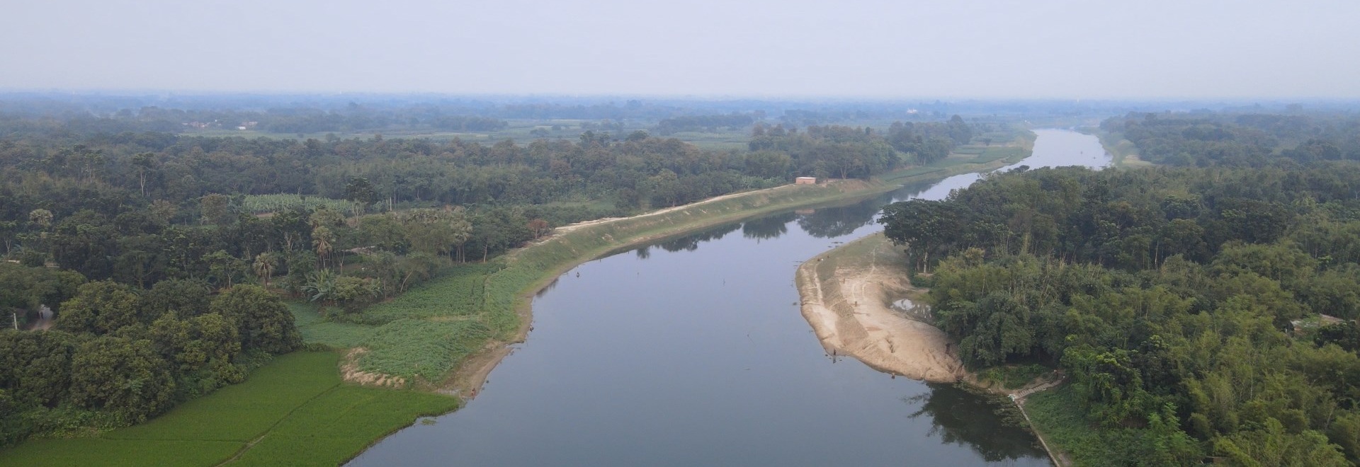
Meherpur District is a northwestern district of Khulna Division in southwestern Bangladesh. It is bordered by West Bengal, India in the west, and by the Bangladeshi districts of Kushtia and Chuadanga to the east. It is believed that Meherpur was named in the 16th century or sometime after, in keeping with the name of a person named Darwish Meher Ali, an Islamic preacher. Pre-independence Meherpur was a subdivision of Nadia district. After Liberation War, Meherpur attained the status of a full-fledged district on 24 February 1984. On 24 February 2000, Meherpur Sadar Upazila was divided, leading to the creation of Mujibnagar Upazila.
The district has an area of 716.08 square kilometres (276.48 sq mi). The district is situated between 23.44° to 23.59° north latitude and 88.3° to 88.5° east longitude. It is the border district of western part of Bangladesh. This district stands Daulatpur Thana in Kushtia district and West Bengal (India) at North; Jibannagar and Damurhuda Thanas in Chuadanga district and West Bengal (India) at South; Mirpur in Kushtia district and Alamdanga of Chuadanga district at East. Along the western part of Meherpur runs approximately 60 km of the Bangladesh–India border from north to south.
Total administrative area of this district is 716.08 sq km. It consists of 03 upazilas- Meherpur Sadar, Mujibnagar and Gangni Upazila, 2 Municipalities- Meherpur and Gangni (one "A" category, one "B" category), 20 unions, 199 mouzas and 259 villages. Total Population is 705,356 (according to 2022 census), the number of male and female are 340093 and 365237, transgender 26 and the total households are 195,322. The religious composition of the district is Muslim 97.87%, Hindu 1.20%, Christian 0.92%, Buddhists 0.0023% and others 0.0023%. Annual population growth rate is 0.65% (according to 2022 census).
read more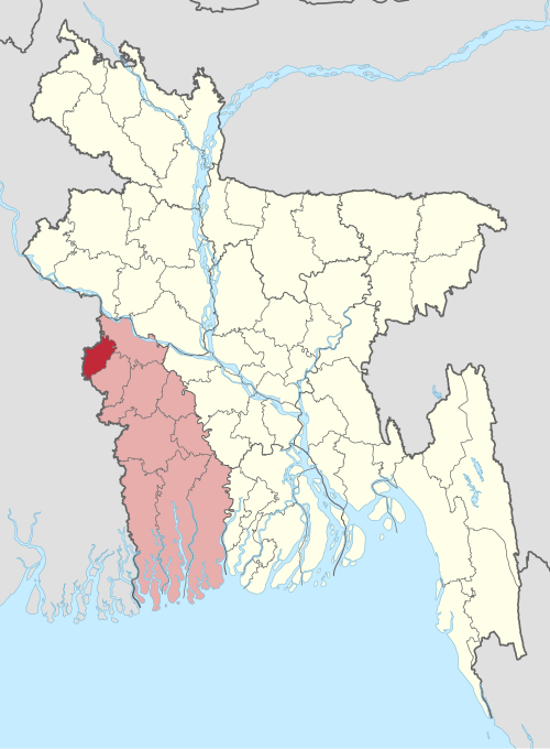
Project Resources
All the inputs that are required to successfully plan, execute, and complete a project.

Research & Reports
Research & Reports means the process of systematically investigating a topic and presenting the findings in a structured written document.
Project Documents
Project Documents are official records that capture a project's plans, progress, decisions, and outcomes throughout its lifecycle.
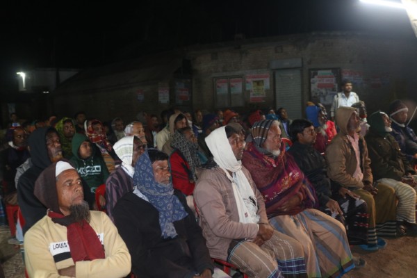
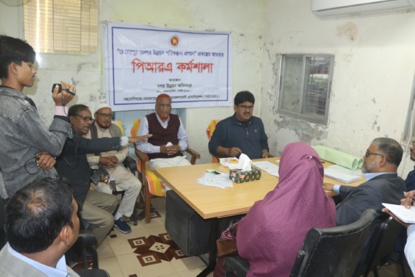
Seminar & Workshops
Seminar & Workshops are interactive learning events where seminars focus on sharing knowledge through lectures, while workshops emphasize hands-on practice and skill development.
Presentation
Presentation is a structured way of sharing information or ideas with an audience using speech, visuals, or multimedia.
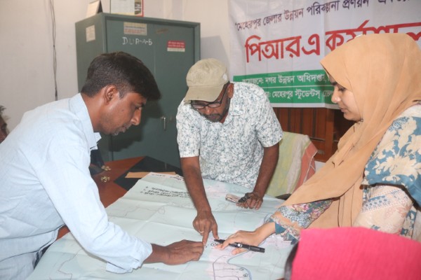
Public Hearing
Public Hearing is a formal meeting where authorities gather opinions, concerns, and feedback from the public on specific issues or decisions.
Map Documents
Map Documents are visual representations of geographic data and spatial information used for analysis, planning, and decision-making.


Meherpur Sadar Upazila is the main upazila of Meherpur District in the Khulna Division of Bangladesh. It is historically significant as the place where the Provisional Government of Bangladesh was formally inaugurated at Mujibnagar in 1971 during the Liberation War.
Gangni Upazila is one of the administrative regions of Meherpur District in the Khulna Division of Bangladesh. It is primarily an agricultural area, with rice, wheat, jute, and vegetables being the main crops. The upazila is characterized by its rural landscape, rivers, and small markets that support local trade.